


Ask anyone for a waterfall in the Lake District and they'll say Aira Force. Fair enough: it's a proper showpiece, with stone bridges over a mossy gorge. But it's one of dozens, and some of the best are a ten minute walk from a village café.
This guide covers six. Two are short walks from Ambleside. One is the tallest single drop in the national park. One you can reach by boat across Derwentwater, and one by steam train.
One rule for all of them: the Lake District's waterfalls are at their best after rain, which is also when the paths are at their muddiest. Good boots, every time.
Quick answer: the best waterfalls in the Lake District
| Waterfall | Area | Walk (return) | Good to know |
|---|---|---|---|
| Aira Force | Ullswater | 1.5 km | National Trust car park, busiest 11am to 3pm |
| Stock Ghyll Force | Ambleside | About 1 mile | Starts in the town centre |
| Scale Force | Buttermere | About 5 miles | Tallest single drop, boggy path |
| Lodore Falls | Derwentwater | 15 min from the launch jetty | Small charge, hotel land |
| Skelwith Force | Skelwith Bridge | 1 km | Flat path, café at the end |
| Stanley Ghyll Force | Eskdale | 3.2 km | Steam train to the start |
Short on time? Stock Ghyll. Want the classic? Aira Force. Want a proper day out? Scale Force.
1Aira ForceUllswater
The spota waterfall dropping through a deep, mossy gorge, with stone footbridges above and below it.

Aira Force is the Lake District's most famous waterfall, and the National Trust looks after it. The woodland walk from the car park at the bottom of Aira Beck climbs to the falls, which the Trust describes as a 65 foot drop. Cross the bridge at the top and you can loop back down the other side, or keep going upstream to smaller falls.
It's busy. The National Trust says its car parks fill up fast between 11am and 3pm, so come early or late. Parking for non-members is £7 for two hours or £10 for the day, and free for National Trust members.
Where Aira Force car park, Ullswater, about 30 min from Keswick
Difficulty Moderate
Distance 1.5 km return
Duration About 40 min
ParkingToilets2WD accessEE 4GDogs allowed
Best time April to June, or any day after heavy rain
Entry Free. National Trust car park charges for non-members
Official info National Trust, Aira Force and Ullswater
Exact location In the Sole Drift app
Top tip: make a day of it by taking the Ullswater steamer to Aira Force pier, then walking up to the falls from the lake.
2Stock Ghyll ForceAmbleside
The spota tall, twin-streamed waterfall in a wooded gorge, a short walk from the middle of Ambleside.

This is the easiest big waterfall in the Lake District. You walk out of Ambleside town centre, up the lane behind the Salutation Hotel, and into the woods along Stock Ghyll. Cumbria Tourism describes it as a loop of about a mile through woodland, with clear paths and bridges.
The falls drop about 70 feet into the gorge, and there's a railed viewpoint to watch from. Cross the top bridge for the view down over them.
Where Stock Ghyll, Ambleside town centre
Difficulty Easy
Distance About 1 mile return
Best time After a wet spell, any time of year
Entry Free
Official info Visit Lake District, Stockghyll Force
Rainy day plan: this is the one to do when the weather's too grim for the fells. It's short, close to cafés, and the wetter it's been, the better it looks.
3Scale ForceButtermere
The spota single, thin ribbon of water dropping 170 feet into a narrow, fern-lined slot above Crummock Water.
The National Trust calls Scale Force the tallest single-drop waterfall in the Lake District, at 170 feet (51.8 m). It's hidden in a cleft on the west side of Crummock Water, so you don't see it until you're almost at the bottom.
From Buttermere village it's about 2.5 miles each way, and the Trust says to allow two hours there and back. The path can be very boggy, so wear waterproof boots, not trainers. You can turn it into a longer loop around Crummock Water if you've got the legs.
Where West side of Crummock Water, from Buttermere village, about 35 min from Keswick
Difficulty Moderate
Distance About 8 km return
Duration About 2 h
ParkingToilets in Buttermere2WD accessNo signalDogs allowed
Best time April to June, or the day after a downpour
Entry Free
Official info National Trust, Buttermere to Rannerdale walk
Exact location In the Sole Drift app
Heads up: the National Trust warns that getting right up to the falls means scrambling over a large boulder that's often slimy with moss. The safer view is from the footbridge.
Sole Drift app
Get the app
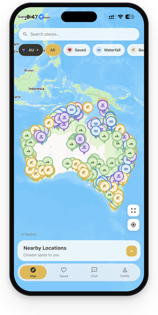
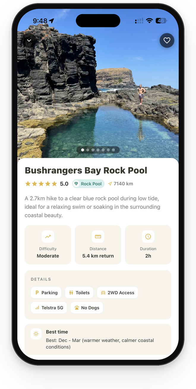
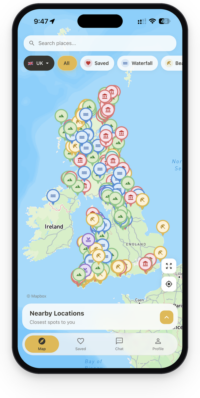
Want the exact location of every waterfall in this guide? They're in the Sole Drift app, along with 500+ more spots across the UK.
4Lodore FallsDerwentwater
The spota long cascade tumbling over huge boulders in the woods behind the Lodore Falls Hotel, at the south end of Derwentwater.

Lodore is the waterfall to pair with a boat trip. The Keswick Launch stops at Lodore jetty, and from there it's about a 15 minute walk to the falls behind the hotel. The falls are on the hotel's land, so there's a small charge to get in.
You can also walk to it. Keswick Launch describes the lakeshore path from Hawes End as a gentle walk that ends at the falls, with the launch back to Keswick from the jetty opposite the hotel.
Where Behind the Lodore Falls Hotel, Borrowdale, about 10 min from Keswick
Difficulty Easy
Parking nearby
Best time After rain, when the beck is full
Entry Small charge (the falls are on hotel land)
Official info Keswick Launch, Lodore Falls
5Skelwith ForceSkelwith Bridge
The spotthe whole River Brathay squeezing through a short, rocky gap, with a footbridge right over it.

Skelwith Force isn't tall, but it's loud. It's on one of the national park's Miles Without Stiles routes, a level, accessible path between Elterwater and Skelwith Bridge. The route crosses the Trevor Woodburn Memorial Bridge, where you look straight down on the falls, then runs another 200 metres to Chesters café at Skelwith Bridge.
From the Skelwith Bridge end it's a short stroll, about a kilometre there and back. Bus 516 from Ambleside stops at Elterwater if you'd rather walk the whole way.
Where Skelwith Bridge, about 10 min west of Ambleside
Difficulty Easy
Distance 1 km return
Duration About 20 min
ParkingToilets2WD accessEE 4GDogs allowed
Best time September to December, when the river's high
Entry Free
Official info Lake District National Park, Elterwater to Skelwith Bridge
Exact location In the Sole Drift app
Add a second waterfall: Colwith Force is on the same river a little further up, in Little Langdale. Visit Cumbria describes it dropping in several stages, about 40 feet in all. It's in the app too, and walkers often link the two in a loop from Elterwater.
6Stanley Ghyll ForceEskdale
The spota 60 foot waterfall at the end of a deep, narrow gorge in the quiet western valleys.

Stanley Ghyll is the one with the best way in. The national park rangers' favourite walk starts at Dalegarth Station, which you can reach on the La'al Ratty steam train from Ravenglass. From there it follows the River Esk past St Catherine's Church, about 5 km and two hours in all, to the 60 foot drop of the falls.
The national park has cleared invasive rhododendron and stabilised the rock in the gorge, and there's now a viewing point over the falls. Some paths here have been closed in the past while that work went on.
Where Near Boot, Eskdale, about 1 h 15 min from Ambleside
Difficulty Moderate
Distance 3.2 km return
Duration About 1 h 30 min
ParkingToilets2WD accessEE 4GDogs allowed
Best time April to June, after a wet week
Entry Free
Official info Lake District National Park, Stanley Ghyll
Exact location In the Sole Drift app
Heads up: the gorge paths are steep and the edges drop away sharply. Check the national park's page for any closures before you go, and stay behind the railings.
When do Lake District waterfalls look best?
After rain, every time. A fall that's a thin trickle after a dry fortnight can be a roaring white curtain the morning after a wet night. Autumn and winter often bring the best flow, and spring is good too.
The trade off is the paths. Rain makes the rocks around every waterfall here slippery, and the approach to Scale Force in particular turns to bog. Waterproof boots with real grip make all the difference.
Can you swim at Lake District waterfalls?
Some people do, but be careful. The Lake District National Park warns that the water stays cold even on hot summer days, and cold water shock can make it hard to breathe or swim. Its advice is to get in slowly, check the depth as you go, and never swim alone.
The plunge pools under waterfalls add their own risks: hidden rocks, strong currents after rain and very cold water fed from the fells. Never jump or dive in. The national park's swimming in the Lake District page explains its Float to Live advice if you get into trouble.
Practical tips for Lake District waterfalls
- Park early or take the bus, boat or train. Aira Force, Buttermere and Ambleside car parks fill quickly on fine weekends. The Ullswater steamers, the Keswick Launch and the La'al Ratty all reach waterfalls in this guide.
- Wear boots with grip. Wet rock and tree roots are the main hazard at every waterfall here.
- Check the weather and the paths. The Lake District National Park site has route information and updates.
- Save the route offline. Signal drops out in Buttermere and the western valleys. Open the spot in Maps from the Sole Drift app, then download the area for offline use. Our stay safe outdoors guide covers what else to pack.
- Want more of the UK? Browse our England guides as we add them.
Pick a valley and go
The Lake District has more waterfalls than anyone can tick off in a weekend. Start with one near where you're staying, go the morning after a good rain, and bring proper boots.
Keep to the paths, take your rubbish home, and leave the rocks and plants where they are. Read our Leave No Trace guide before you go. These places stay special because people look after them.